
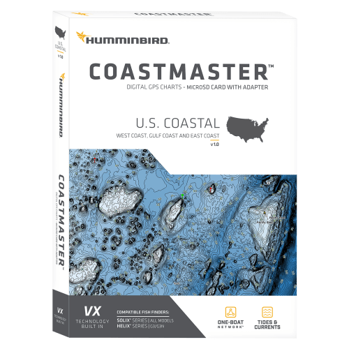
Hummminbird CoastMaster Digital Maps Card
-
Detail
FindthepathtoyournextbigcatchwiththeincredibleaccuracyanddetailoftheHummminbird®CoastMaster™DigitalMapsCard.ThisconvenientcoastlinemapcardprovideshighlyaccuratechartcoverageforallU.S.coastalwaters.Fromeasy-to-readcontourstohighlighteddepthranges,you'llhavethetoolsyouneedtoidentifythespotsyouknowwillholdfish,andnavigatetheresafely.VXTechnologyprovides5customizablecolorpalettesandfasterloadtimes,soyoucanseizeeverymomentonthewater.Seetheworldyourwaywith3presetviews.It'squickandeasytoswitchfromfishingchartstonauticalchartsortocreatecustomviewsettings.Usingpredictivesoftware,CoastMastermapsletyouplanyourfishingdaywithtidaldirectionandheight,aswellasthespeedanddirectionofcurrentsandmore,soyou'llneverbecaughtguessing.Createupto4user-defineddepthhighlightranges,soyoucaneasilytargetproductivewaterandstayinthebitezone.Navigatesafelyandquicklyidentifyspotswherefisharehidingwithredshadinghighlightsforshallow-waterareasonanadjustablerangefrom0–30'.Synchronizethedepthcontoursandshorelineswithactualwaterlevels.WhenpairedwithaMinnKota®i-Pilot®Link(notincluded),youcan"follow"aselecteddepth-contourline,deliveringprecise,automaticboatcontrol.CompatiblewithHumminbirdHELIX®G3/G3NandallSOLIX®units.Mfrs.1-yearlimitedcartographywarranty.Openedpackagesnoteligibleforreturn.
Manufacturermodel#:601015-1.- Convenientcoastlinemapschip
- HighlyaccuratechartcoverageforallU.S.coastalwaters
- 5customizablecolorpalettes
- 3presetviews
- Switchfromfishingchartstonauticalchartsorcreatecustomviews
- Predictivesoftwarefortidaldirection,height,andspeedanddirectionofcurrents
- Upto4user-defineddepthhighlightranges
- Shadinghighlightsforshallowwaterareas
- Synchronizedepthcontoursandshorelineswithactualwaterlevels
- PairswithMinnKotai-PilotLink(notincluded)to"follow"depth-contourline
-
Customer ReviewsNo comments
You May Also Like
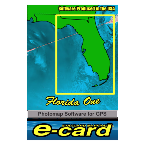
Standard Mapping Services Classic Marine Map GPS E-Cards
Simrad HALO24 Dome Radar
Simrad HALO20 Dome Radar
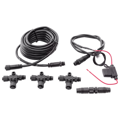
Simrad NMEA 2000 Micro-C Network Backbone Kit
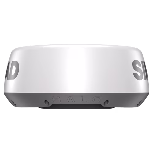
Simrad HALO20+ Radar


Scanstrut ROKK Surface Wireless 10W Waterproof 12/24V Charger

Scanstrut ROKK Charge+ Waterproof Fast Charge Dual USB Socket

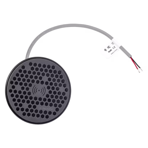
Scanstrut ROKK Hidden Wireless 10W Waterproof 12/24V Charger


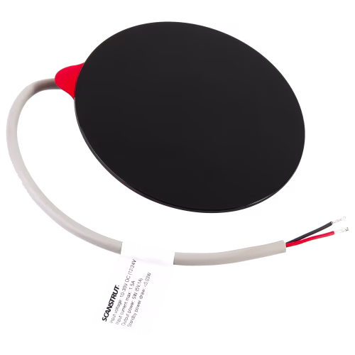
Scanstrut ROKK Sub Wireless 10W Waterproof 12/24V Charger


Scanstrut Flip Pro Fast Charge Dual USB Socket

