
National Geographic National Scenic Area Illustrated Trails and Topographic Map
-
Detail
ExploreeverycorneroftheColumbiaRiverGorgeNationalScenicAreawiththehelpoftheNationalGeographic®NationalScenicAreaIllustratedTrailsandTopographicMap!Expertlyresearchedandcreatedinpartnershipwithlocallandmanagementagencies,it'sanunparalleledtoolforexploringthe80-mile-longgorgeanditsdiverseecosystems.ItgoesbeyondthemagnificentMultnomahFallsbyofferingtonsofnatural,cultural,andrecreationalattractions.KeyareasofinterestincludetheWhiteSalmon,Klickitat,Sandy,andLowerDeschutesrivers;YacoltBurnStateForest;Maryhill,ColumbiaHills,andRoosterRockstateparks;MarkO.HatfieldWilderness;andportionsofMountHoodandGifford-Pinchotnationalforests.KeytrailsandroadwaysincludethePacificCrestNationalTrailandtheOregonNationalHistoricTrail,theHistoricColumbiaRiverHighwayandYakimaScenicByway,andmanymore.Ahelpfullistofwaterfallsmakesiteasytotakeinthesenaturalwondersinyourtravels.Manyrecreationfeaturesarenotedaswell,includingcampgrounds,trailheads,interpretivetrails,boatlaunches,andareasforfishing,windsurfing,andswimming.Themapbaseincludescontourlinesandelevationsforsummits.FullUTMgridaidswithGPSnavigation.Printedonwaterproof,tear-resistantpaper.
Manufacturermodel#:TI00000821.- Expertlyresearchedandcreatedinpartnershipwithlocallandmanagementagencies
- CoverstheColumbiaRiverGorgeNationalScenicAreaindepth
- Showskeynatural,cultural,andrecreationalfeatures
- Showstrailsandroadways
- Helpfullistofwaterfalls
- Notescampgrounds,trailheads,boatlaunches,andmanyotherimportantfeatures
- Contourlinesandelevationsforsummits
- FullUTMgridforGPSnavigation
- Printedonwaterproof,tear-resistantpaper
-
Customer ReviewsNo comments
You May Also Like
New!YETI Rambler Tumbler with MagSlider Lid
New!YETI Rambler Mug with Straw Lid
New!Walther PDP Full-Size Optic-Ready Semi-Auto Pistol - 9mm
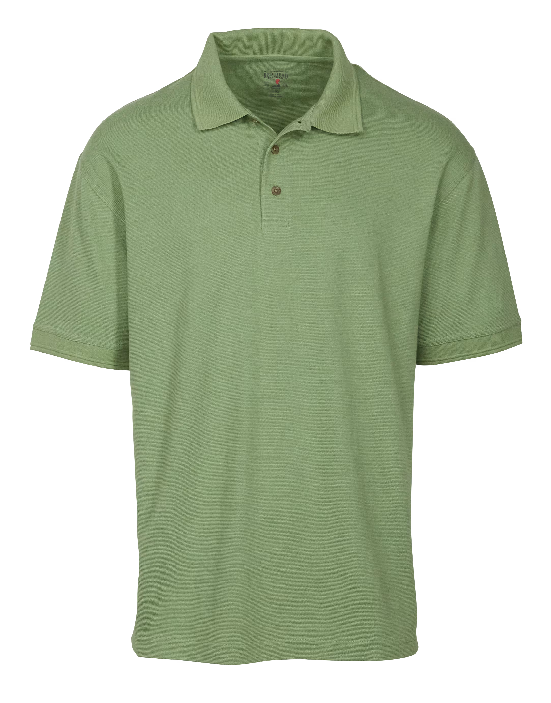
New!RedHead Benton Short-Sleeve Polo for Men


New! Zippo Typhoon Match Kit
New! Zebco Scooby Doo Floating Spincast Combo
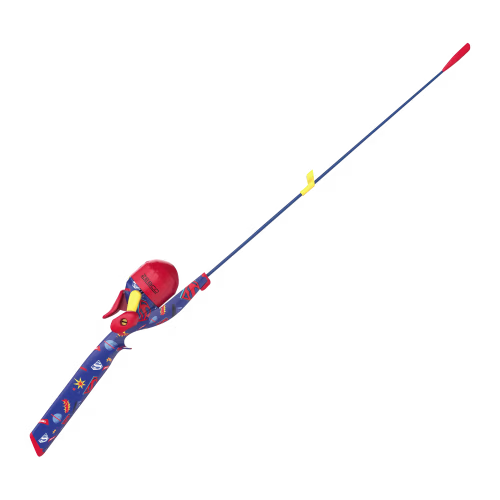
New! Zebco Wonder Woman Floating Spincast Combo
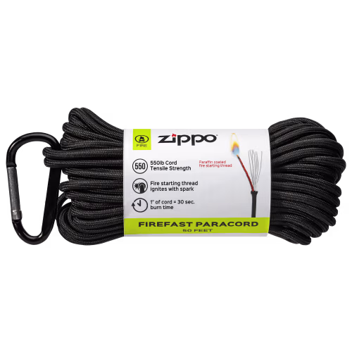
New! Zippo Fire-Starting Paracord
New! Zebco Superman Floating Spincast Combo
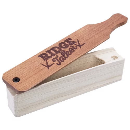
New! Zink Calls Ridge Talker Box Turkey Call
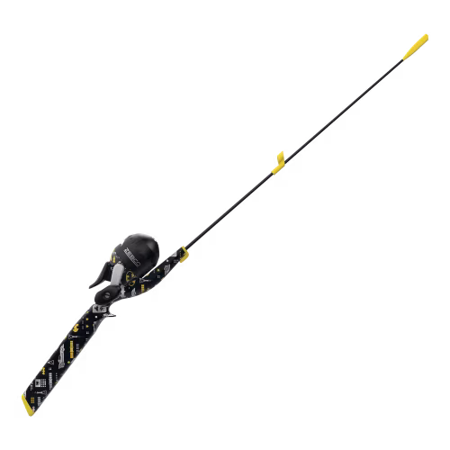
New! Zebco Batman Floating Spincast Combo

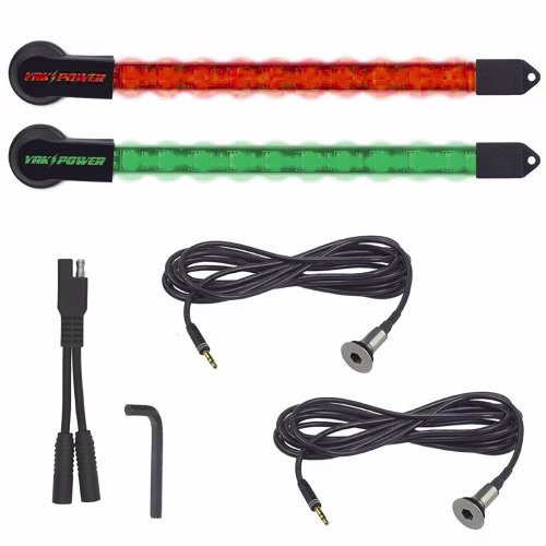
New! Yak-Power 2-Piece LED Kayak Lights Kit
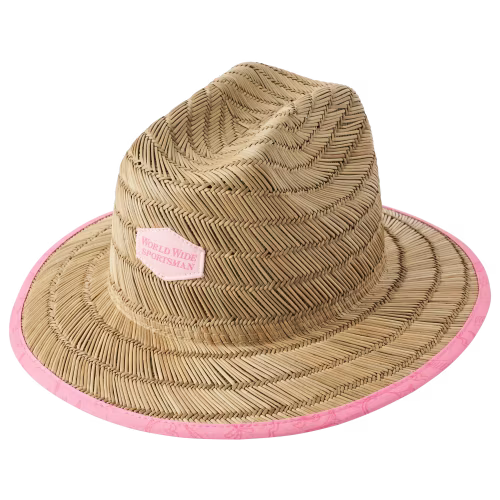
New! World Wide Sportsman Straw Lifeguard Hat for Kids
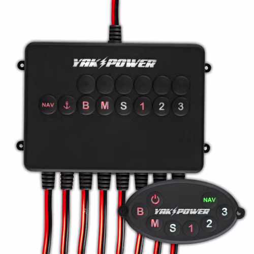
New! Yak-Power 8-Circuit Bluetooth Enabled Switching System